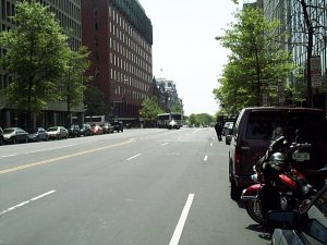
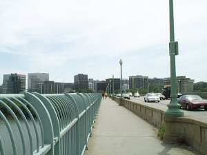
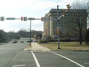
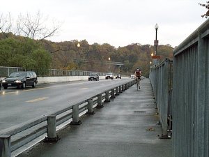
This map shows suggested bicycle commute routes in Washington DC's main business district. Red lines identify off-road multi-use paths. Most of these paths are paved, with the exceptions noted. The blue lines are suggested on-road routes. Of course, bicycles are permitted on just about any downtown street. The highlighted routes are only suggested starting points. Dashed lines are best for more advanced cyclists who don't mind heavy traffic. (Printable Map).

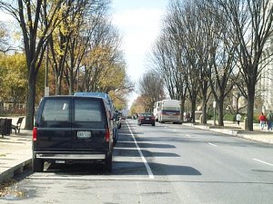
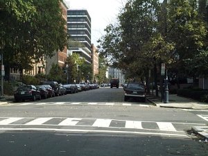
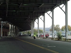
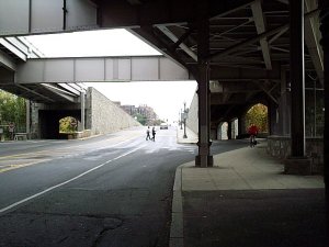
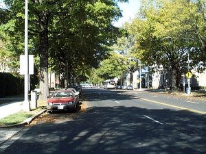
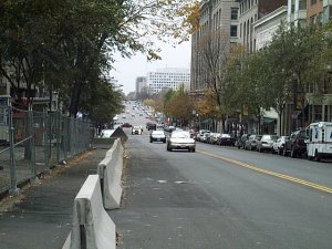
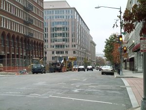
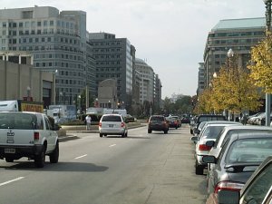
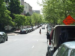
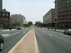
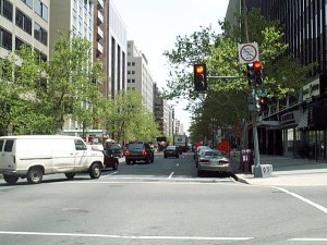
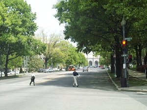
Photos of various locations are available by simply rolling your mouse point over one of the purple "hot spots" You can also find more information about connecting trails by clicking on the red triangles along the edge of the map.

Madison Ave National Mall Ellipse F Street NW Water Street, NW Rock Creek Connection Teddy Roosevelt Bridge Memorial Bridge 14th Street Bridge Maine Ave Water Street SW P Street Path 4th Street SW US Capitol 7th Street 9th Street New York Ave G Street NW 13th Street New Jersey Ave Pennsylvania Ave Kennedy Center Rock Creek Trail Virginia Ave GW Parkway Crossing E Capitol St Pennsylvania Ave NW 21th Street NW Massachusetts Ave NW L Street NW Louisiana Ave NW Pennsylvania Ave NW 17th Street NW Key Bridge Mt Vernon Trail Custis Trail to Capital Crescent Trail to Custis Trail to Mt Vernon Trail to Baltimore to Rock Creek Trail

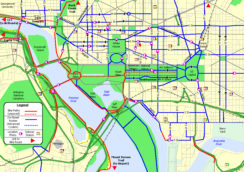
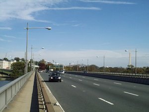
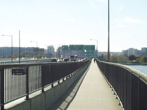
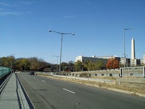
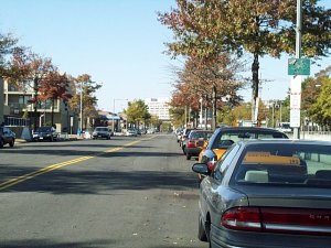
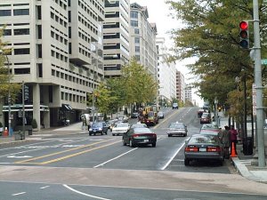
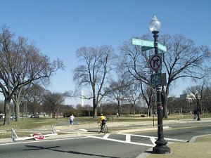
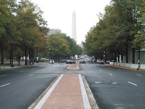
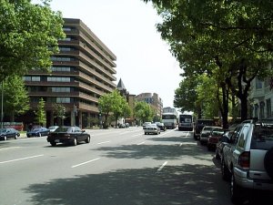
Map of Downtown DC Bicycle Commute Routes. Move pointer over map for photos of various locations.

If you would like some more help determining a commuter route, check out WABA's Bicycle Commuter Assistance Program. If you are currently a bike commuter and would like to suggest some route additions/modifications, please send me an E-mail.


Madison and Jefferson Aves run past the Smithsonian Museums along the National Mall. Slow traffic and wide lanes make these great routes for cyclists.

Unpaved paths run up and down both sides of the national mall between the Lincoln Memorial and the US Capitol.

These days, the ellipse is closed to public traffic, except for bicycles.

F and G Streets provide a good east-west route through the GW University campus. These streets are fairly wide, but expect several stop signs.

Water Street, located under the Whitehurst Freeway, is a popular connection between the Capital Crescent Trail and the Rock Creek Trail.

The Rock Creek trail is easily accessed by taking the right exit just prior to emerging out from under the Freeway.

The Teddy Roosevelt Bridge is a very convenient crossing from the Custis Trail. Unfortunately, it has a ridiculously narrow side trail.

Memorial Bridge has a wide sidewalk along each side. This bridge provides the easiest downtown access from the Pentagon area.

The 14th Street Bridge has a trail along the north side. This is one of the better river crossings and very convenient from Alexandria.

This area can be a bit tricky. In this photo, the rider must use the narrow sidewalk to head north. If you wish to use the road instead, be sure hop onto Maine Ave BEFORE crossing under I-395.

Water Street SW will take you past various dinner cruise operations and seafood restaurants. Heading north, you should try to hop over to Maine Ave (on right) prior to the I-395 overpass. Otherwise, you will get stuck on a narrow sidewalk.

At the south end of Water Street is a short path which connects to P Street SW. P Street is a very convenient access route to the South Capital Street Bridge.

4th Street SW. What else can I say?

Even with the massive security crackdown these days, bicyclists are still permitted on the Capitol grounds. However, I understand you may be required to walk your bike now.

7th Street NW provides a really nice north-south route across the downtown area.

9th Street NW is one-way southbound.

Looking down New York Ave near the Convention Center. This street has heavy traffic, but the right lane is fairly wide and accommodates bicycles quite nicely.

G Street NW is a great connection between the White House and the MCI Center. Very wide and easily accommodates cyclist.

13th Street NW is typical of many north-south streets. The right lane is fairly narrow and may put the "squeeze" on your commute.

New Jersey Ave passes some nice homes on the way up Capitol Hill. However, the intersection at I Street probably won't make DC's Top 10 Places list. I recommend that you bike quickly in this area!

If you're driving a car, you can't get anywhere near the White House these days. However, cyclists are typically still free to cruise past the front gate. When VIPs drop by, cyclists must find another route.

After crossing the Roosevelt Bridge, you'll find this brand new trail along the Kennedy Center grounds. This trail will zip you right up to New Hampshire and Virginia Ave.

At Ohio Ave, the Rock Creek Trail follows this crosswalk and then passes some volleyball courts before continuing along the river. If you wish to follow the National Mall across town, then you may be better off continuing up the hill to the Lincoln Circle.

I'm told that Virginia Ave is a commonly used bike route. This photo shows a deserted avenue on a Saturday afternoon. I'm thinking the right lanes will seem pretty narrow during rush hours.

In order to reach the Memorial Bridge from the Mt Vernon Trail, you must use this grade crossing on the GW Parkway (not much fun during rush hour). A good alternative is the 14th Street Bridge.

This photo, from Bike DC 2001, shows the nice bike lanes along East Capitol Street.

Pennsylvania Ave is a pretty busy cross town route. Not a bad option if you are comfortable riding in heavy traffic.

21th Street is a nice Southbound route, passing by the GW Univisity Campus. When headed north, use 20th Street.

Massachusetts Ave provides a reasonable route over to Union Station. This is photo is taken Saturday Afternoon, so expect a bit more traffic during weekdays.

L Street is a pretty busy eastbound route. The traffic seems to move pretty slow along this section.

Louisiana Ave is an excellent bike route. I wish more streets were like this one.

Pennsylvania Ave is probably the best known street in DC. If you don't mind the traffic, this is a great route through the Federal Triagle area over to the US Capitol.

17th Street is a really busy north-south route. This street becomes narrow and heavily congested south of Pennsylvania Ave.

Key Bridge has a nice wide sidewalk along both sides. Provides an easy bike crossing between Georgetown and Rosslyn, Virgina.

The Mount Vernon Trail offers a very pretty ride along Potomac. Leads south right past Reagan National Airport and Olde Town Alexandria.

At the north end of the Mount Vernon Trail, you end up at this intersecton. The Custis Trail follows this sidewalk. Leads to Falls Church.

Chain Bridge is the last chance bike crossing over the Potomac. The next crossing point is 30 miles up river at Whites Ferry.